Freie Universität Berlin
Department of Earth Sciences
Service Navigation
Imaging Group
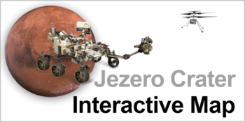
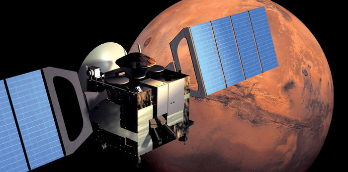
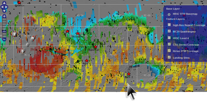
The Planetary Sciences and Remote Sensing group at the Institute of Geological Sciences of Freie Universität Berlin is involved in several ESA and NASA space missions to explore the solar system and our neighbouring planets. In the field of terrestrial planets, our group is particularly active with a focus on remote sensing and image processing. As part of a newly approved project “coregistration”, we are creating high-resolution large-scale image and terrain model mosaics of the planet Mars, assembled from a large number of individual images from different Mars cameras.

Research Projects


GROUP MEMBERS:
- Dr. Sebastian Walter
- Prof. Dr. Ralf Jaumann
- Dr. Michael Aye
- Dr. Christoph Gross
- Dr. Alicia Neesemann
- Dr. Yu Tao
- René Prissang
- Robert Munteanu
- Björn Schreiner
- Wilhelm Zuschneid
- Alexander Borchert
- Kaushik Mukherjee
- Anastasiia Ovchinnikova
- Riham AbuShunnar
- Sarthak Santosh Deshmukh
- Greta Lamers
- Laura Patermann