Hydrometeorological data of Berlin
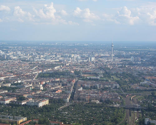
Aerial view of Berlin
Image Credit: Olivier Cleynen CC BY 4.0
Storms, floods, droughts, and landslides are just a few examples of hazards that can be caused by climate change or extreme meteorological events. As these hazards are responsible for most natural disasters worldwide, robust hydrometeorological monitoring systems are needed to improve mitigation measures.
One of Berlin's many weather stations is located on the Freie Universität's GeoCampus in Berlin-Lankwitz and has been providing urban climate data from southern Berlin since 2017.
The data
The dataset contains measured values on the parameters precipitation, temperature, air pressure, humidity, solar radiation and wind speed, measured in 15-minute intervals over the period January 1, 2017 - January 12, 2022.
Publication of the data set: Reinhardt-Imjela C, Schulte A (2022) http://dx.doi.org/10.17169/refubium-36113
