Chaos in the Atlantis basin
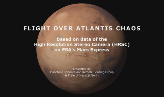
This animation features the region of Atlantis Chaos on our neighbor planet Mars. It is based on a color mosaic and digital terrain model of this region from the press release from June 12th, 2014. The images were acquired by the High Resolution Stereo Camera (HRSC) on board ESA's Mars Express spacecraft. The camera is operated by the German Aerospace Center (Deutsches Zentrum für Luft- und Raumfahrt; DLR). The animation was created by the Planetary Sciences and Remote Sensing group at Freie Universität Berlin. Systematic processing of HRSC image data is carried out at DLR Institute of Planetary Research Berlin-Adlershof.

Atlantis Chaos Animation
Disrupted landscape
A myriad of terrain types are found across the Terra Sirenum region in the southern highlands of Mars. Within the Atlantis basin, a complex and rugged landscape spread across roughly 200 kilometres known as Atlantis Chaos. The Atlantis basin likely owes its existence to an asteroid impact that took place in the early history of Mars. Now, the circular profile of what could be the crater rim is barely detectable. There are several other large basins in Terra Sirenum – most likely created by asteroid impacts as well. Many scientists suspect that standing water once filled these partially connected crater depressions – the hypothetical Eridania lake, which may have covered an area of over one million square kilometres.
Image processing and the HRSC experiment on Mars Express
This movie is generated from an image mosaic, composed of 4 single HRSC images (orbits Orbits 6393, 6411, 6547 (2008/2009) und 12.724 (2014) with an average ground resolution of 15 meters per pixel. The image center lies at approximately 34° southern latitude and 183° eastern longitude. The mosaic image was combined with topography information (from stereo data of HRSC) to generate a three-dimensional landscape. Finally this landscape is recorded from different perspectives, as with a movie camera, to render a flight.
Mapserver
To download the raw images and dtms in GIS-ready formats, follow this link to Atlantis Chaos on the mapserver.
Image Credit
Animation: ESA/DLR/FU Berlin, CC BY-SA 3.0 IGO
Musik: Jason Pfaff, CC BY-NC-ND 3.0
Copyright Notice:
This video (without music) is licenced under the Creative Commons Attribution-ShareAlike 3.0 IGO (CC BY-SA 3.0 IGO) licence. The user is allowed to reproduce, distribute, adapt, translate and publicly perform it, without explicit permission, provided that the content is accompanied by an acknowledgement that the source is credited as 'ESA/DLR/FU Berlin', a direct link to the licence text is provided and that it is clearly indicated if changes were made to the original content. Adaptation/translation/derivatives must be distributed under the same licence terms as this publication.
More information about ESA licence agreements
The High Resolution Stereo Camera was developed at the German Aerospace Center (Deutsches Zentrum für Luft- und Raumfahrt; DLR) and built in collaboration with partners in industry (EADS Astrium, Lewicki Microelectronic GmbH and Jena-Optronik GmbH). The science team, which is headed by principal investigator (PI) Ralf Jaumann, consists of over 52 co-investigators from 34 institutions and ten countries.

