Land use and land cover
Land use in the Thiririka catchment can be classified in five distinct groups. The classes follow a orographic gradient from the forests and grazing lands in high altitudes to the settled areas in lower altitudes.
The areas in the headwater areas of the Thiririka river are mainly covered with a more or less dense forest. While some of the areas are used for grazing, there is also some natural forest and agroforestry.
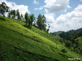
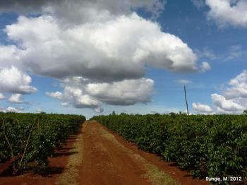
In middle altitudes of the catchment are used as tea plantations. They are vertically followed by a mixture of coffee plantations and mixed subsistence farming.
Around the outlet of the catchment, waste land and settlements are the dominating land cover.

