- engl. Version below -
Willkommen in der Arbeitsgruppe Fernerkundung und Geoinformatik an der Freien Universität Berlin
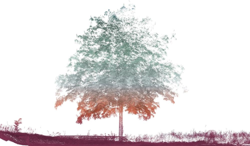
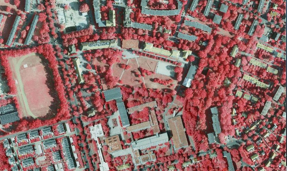
Im Zentrum unserer Forschung steht ein besonderes Interesse an Bäumen – ihrer Gesundheit, ihrem Lebensraum und ihrer Funktion in komplexen Ökosystemen. Ob in dichten Wäldern oder urbanen Räumen: Wir untersuchen Bäume mit modernsten Technologien, um ihren Zustand und ihre Dynamik im Kontext des globalen Wandels besser zu verstehen.
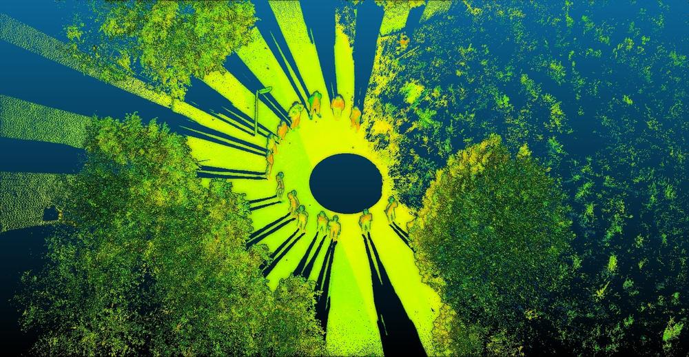
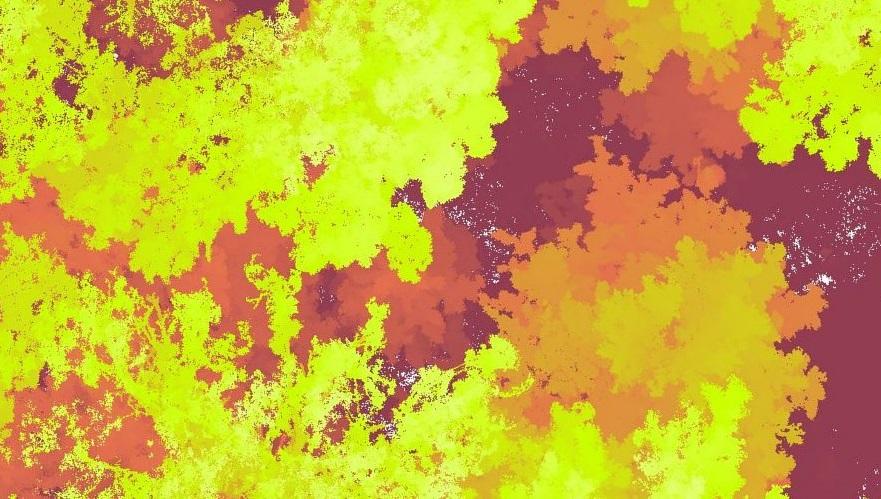
Unsere Arbeiten reichen von Nahbereichserfassungen mittels LiDAR und Sensornetzwerken vor Ort bis hin zur Auswertung großräumiger Satellitenbilder. So verbinden wir hochaufgelöste lokale Daten mit übergreifenden Perspektiven. Diese Datenbasis ermöglicht es uns, drängende ökologische Fragestellungen raum- und zeitübergreifend zu untersuchen – mit Hilfe fortgeschrittener Analysemethoden, einschließlich angewandter Künstlicher Intelligenz und anderer quantitativer Verfahren.
Unsere Tätigkeit endet jedoch nicht bei der Forschung. Ebenso wichtig ist uns eine praxisnahe und motivierende Lehre. Wir geben unsere Methoden und Erkenntnisse in einem interaktiven Lernumfeld weiter und fördern dabei kritisches sowie eigenständiges Denken.
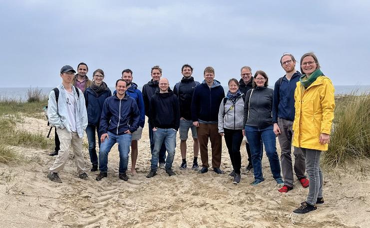
Eingebettet in internationale Kooperationen und den Austausch mit anderen Forschungsgruppen arbeiten wir als vielfältiges, interdisziplinäres Team in einer offenen, unterstützenden Atmosphäre gemeinsam an den Herausforderungen unserer Zeit.
Welcome to the Remote Sensing and Geoinformatics Group at Freie Universität Berlin
At the core of our research lies a deep interest in trees—their health, their environment, and their role in complex ecosystems. Whether in dense forests or urban landscapes, we investigate trees using cutting-edge technologies to understand their condition and dynamics in the face of global change.
From close-range sensing with LiDAR and in-situ sensor networks to large-scale satellite imagery, our work combines detailed local data with broader perspectives. This data foundation enables us to explore pressing ecological questions across space and time, using advanced analytical methods, including applied artificial intelligence and other quantitative methods.
Our work doesn't stop at research. Equally important to us is a commitment to teaching that is both engaging and practice oriented. We share our methods and insights with students through hands-on learning and encourage critical and independent thinking.
Embedded in international exchange and cooperation with other research groups, we are a diverse and interdisciplinary team working together in a collaborative and supportive environment.