Lake system response of Nam Co area, Central Tibet, to late Quaternary monsoon dynamics: Interaction of litoral, fluvial and slope processes
Institut für Geographische Wissenschaften
Fachrichtung Physische Geographie
Arbeitsbereich Prof. Dr. Schütt
DFG (Schu 949/9)
 |
 |
 |
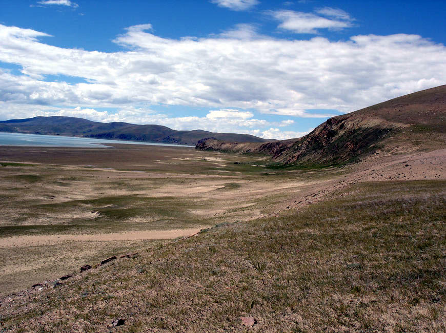 |
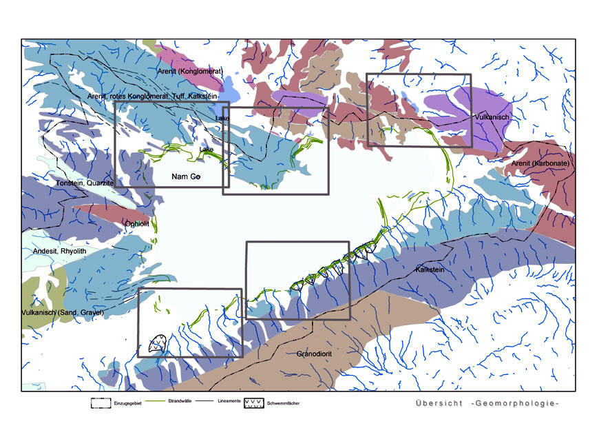
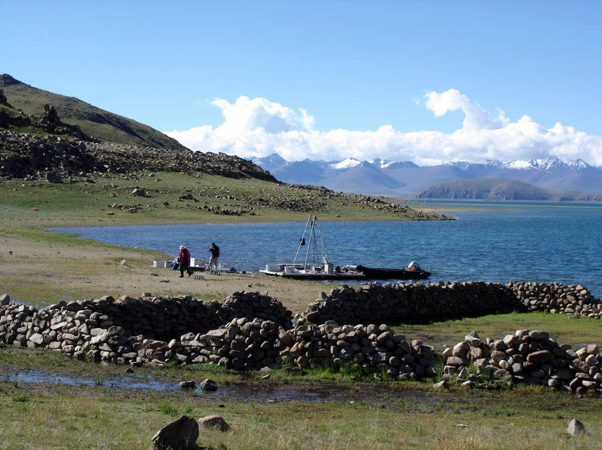
Nam Co Lake is the largest salt water reservoir on the Tibetan Plateau, located in 4600 m asl: it covers a lake area of c. 1870 km² and its drainage basin covers an area of approx. 15.000 km². The characters of the lake’s environment are affeted by its large drainage basin. Lake level changes are a direct response to regional water balance with beach ridges as their evidence. However, lake levels are not only dependent on the annual precipitation-evaporation-ratio but also on the time of the year precipitation appears, its magnitude and frequency. Character of fluvial deposits will allow conclusions on flow behaviour and transport processes. Focussing the interfingering zone of litoral evidences (beach ridges, cliffs) and fluvial and glacial deposits some core information will be achieved on paleo-water balance. In combination with a geomorphological and lithological investigation of Nam Co drainage basin sediment sources will be identified and drainage basin development will be traced. Conclusions will be controlled by implementation of szenarios derived from paleoenvironmental reconstructions into simple model approaches, verifying runoff behaviour (lumped model approach) and water balance (bucket approaches).
The project is a contribution to the DFG joint research initiative "Lake System Response of Nam Co Area, Central Tibet, to Late Quaternary Monsoon dynamics".in direct collaboration with colleagues from the CAS-ITP.