What is a watershed?
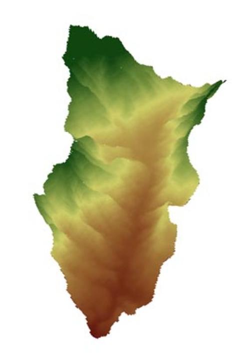
Modell of the Gina River catchment in southern Ethiopia
Image Credit: produced after data from Ethiopian Mapping Authority, Topographic Map 1:250.000
This can transcend the political boundaries, of course. Thus, a watershed can include different countries.
Additionally to the topographic divide, there are divides which run underground. 'Watersheds can range in size from a few hundred square metres to several million square kilometres' (Förch and Schütt 2004, 122). Often watersheds are subdivided into five different basic units based on the size of the watershed: catchment, sub-watershed, watershed, sub-basin and basin (from small to large) (Reimold 1998). But the terminology used to define ‘watersheds’ is not standardised. Watersheds are also distinguished from catchments by topography, for example (Shaxon 2000).
A watershed is commonly named after the river or lake flowing into it. So the Gina River catchment in Southern Ethiopia is all the area draining to the Gina river (see figure). Its size is approximately 53 square kilometres. The Gina River catchment is a part of a larger catchment.
You can study the order of watersheds by clicking on this hyperlink.
Or you go further an learn 'why watersheds are a reasonable planning unit'.

