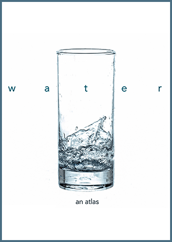
Water: An Atlas
collection of maps on the theme of water
21.10.2021
Water: An Atlas is a collection of maps on the theme of water, collaboratively created by the Guerrilla Cartography community.
Water: An Atlas is a crowdsourced thematic publication focused on water issues around the world. Unlike a traditional thematic atlas—one that covers a particular subject over a specific geography and seeks to construct a focused narrative from its material—this work is more like a curated anthology of maps about water. Its 74 maps were contributed by 134 authors—enthusiasts, activists, academics, resource regulators, resource managers, and scientists—working either individually or collaboratively, in groups of up to seven. Each map presents its own particular issue framed from its own particular viewpoint, and approached in its own, often unique, way. The atlas distilled from this material does not attempt to force any grand narrative upon its contents, but rather allows its diversity to show how complex and varied the issue of water really is.
Most of the mapmakers represented in the atlas are American, and this may explain the fact that 31 of the 74 maps depict North America. There are also, however, substantial contributions from creators from all over the world, and that diversity is reflected in the overall geographic scope. Maps of the world are the second most numerous (17), followed by Asia (10), Africa (6), Europe and Oceania (4 each), and lastly South America, with only two maps. The various maps in the collection range in scale from small world maps at 1:130,000,000 up to some local area maps at about 1:5,000.
The contents are organized into eight chapters, each more or less representing a loosely watery topic—“Imagination,” “Place,” “Habitat,” “Control,” “(Over)Use,” “Politics,” “Pollution,” and “Climate”—with between eight and fourteen maps each, followed by a chapter entitled “Exploration” with activities for kids. Each chapter opens with a short introductory paragraph or two provided by the editors, but these serve more as a description of the chapter’s theme than as an analysis of its contents—very much in keeping with the overall editorial approach that prevails throughout the atlas, of letting the map creators express their viewpoints and tell their own stories.
